Step 01
We set up your custom map
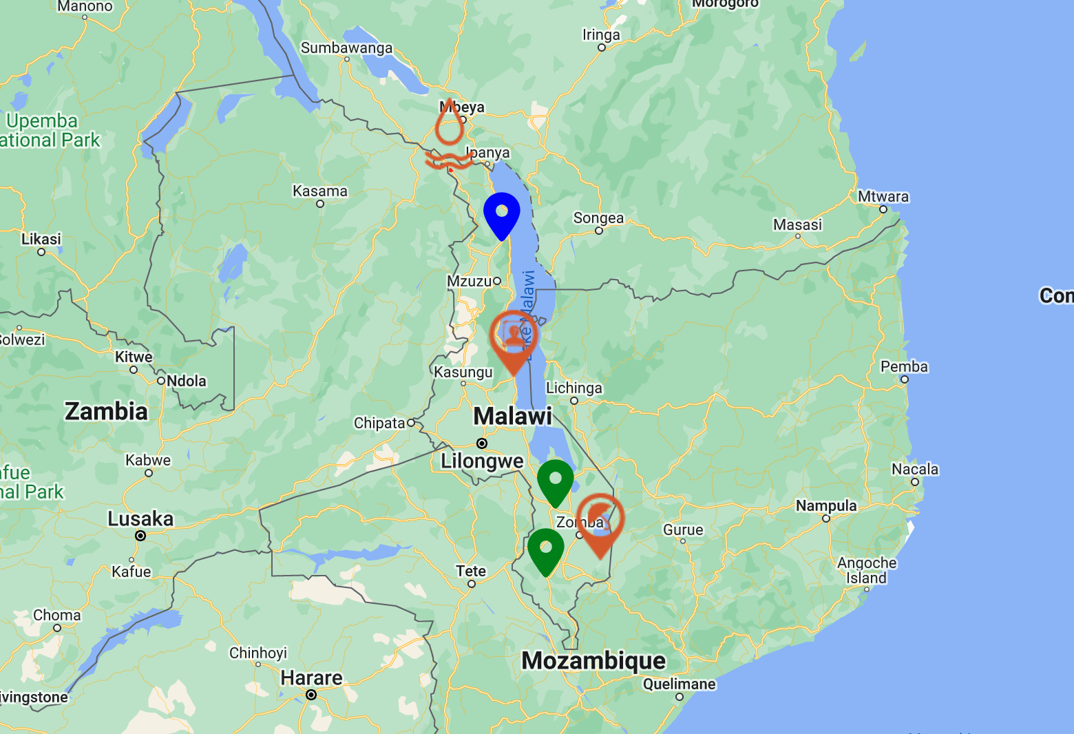
Your map is configured to your jurisdiction in under an hour — fully web-based, no app install for the public, no PII collected.
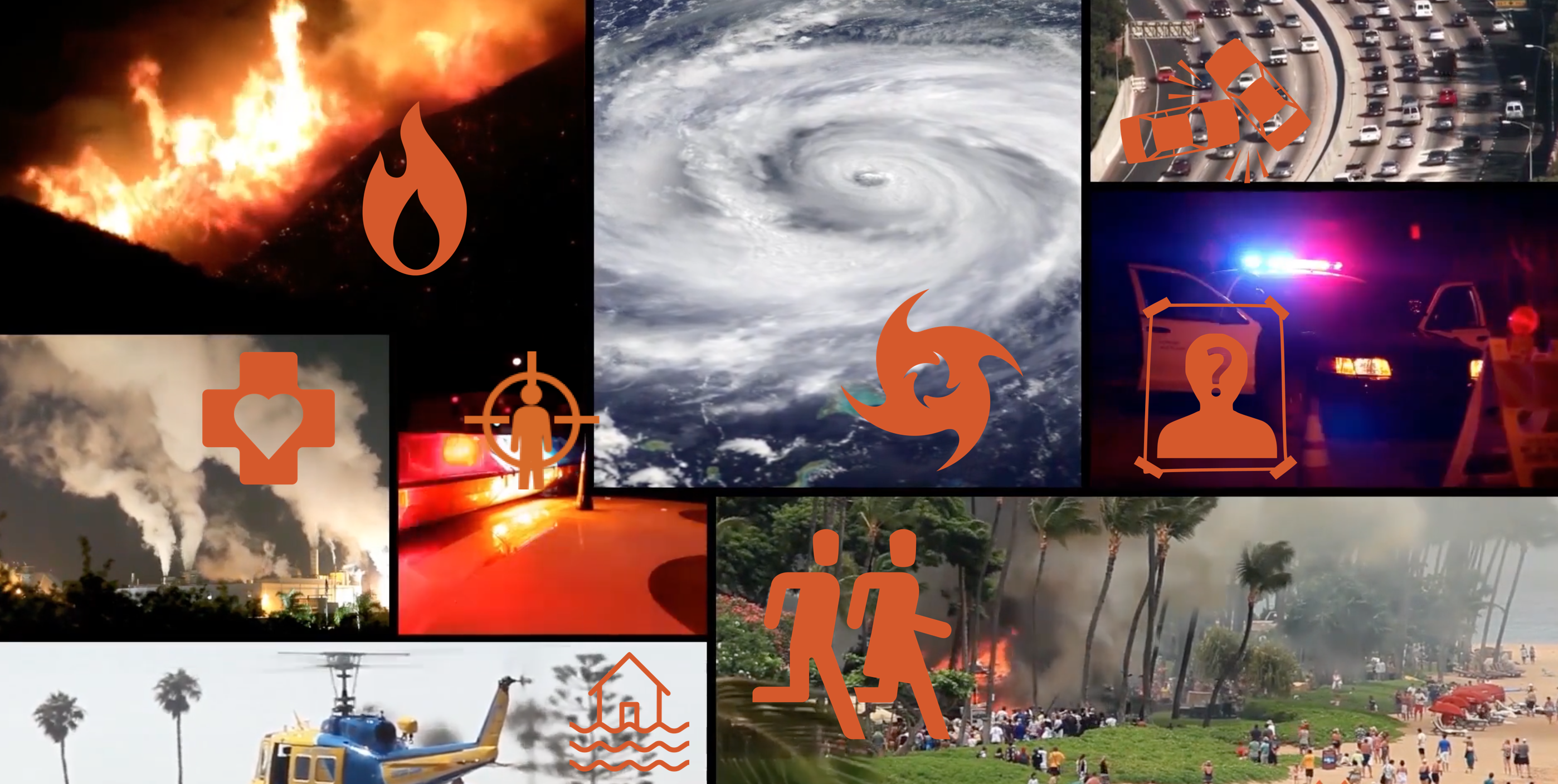
UgoRound is a cloud GIS platform for public-safety teams to publish location-pinned warnings, run incident maps, and reach every resident — anonymously, with no app install required.
Numbers that matter
01
0+
residents reached per alert
median across active deployments
02
0s
from incident pin to public alert
median publish latency
03
0%
public viewers tracked
anonymous by design, no PII
04
0%
engagement rate, 30-day rolling
browser + push, no app required
Get started in 10 minutes
We configure your jurisdiction. You build your audience. Your community sees a map that works on every device — without an app install, account, or learning curve.
Your map is configured to your jurisdiction in under an hour — fully web-based, no app install for the public, no PII collected.
Define the audiences that matter — wards, schools, utilities customers, response teams — then send the same alert to all or some, instantly.
Publish a pin, a polygon, or a layer. The map updates everywhere it's embedded — your website, your socials, public QR posters — at once.
The platform
Seven capabilities, one cloud workspace. Pick what you need today; every module slots into the same map, the same audience, and the same audit trail.
A configurable GIS canvas authorised teams use to publish location-pinned warnings and incidents — embeddable in any website with a snippet of code.
Trigger localised alerts the moment someone enters or approaches a defined zone — relevant to where the user actually is, not where they live.
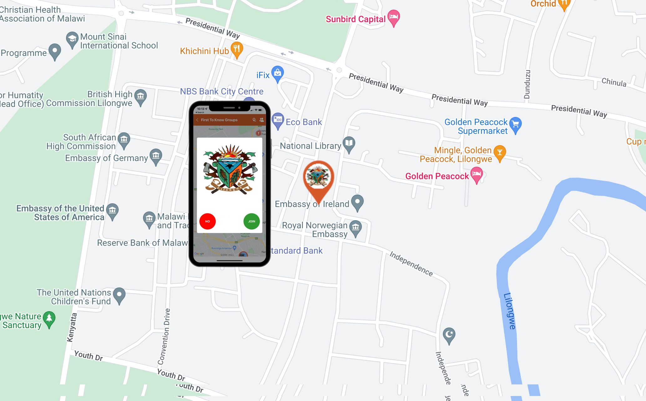
Curate trusted notification groups by neighbourhood, school, hospital, place of worship, or workforce — and reach them anonymously, without onboarding.
Custom GIS overlays that track an unfolding event — flood lines, road closures, evacuation corridors — updated by your team in real time.
Anonymous, location-tagged polls that turn community input into a heat map of sentiment, need, and emerging issues.
Plot incidents the moment they're observed and promote them straight into a public alert when they cross a threshold.
Every alert carries a built-in feedback loop. See who reached the message, what they thought, and where the gaps were — without surveys.
Who we serve
Public-safety teams across government, civic, and utility services run UgoRound as their first-to-know channel — because residents shouldn't need an app, an account, or perfect English to stay safe.
Standby
See a map that mirrors your jurisdiction in a 30-minute demo — or stand one up yourself with a free pilot account.
what you'll see