Everything you need to warn, inform, and listen.
Seven capabilities, one cloud workspace. Pick what you need today; every module slots into the same map, the same audience, and the same audit trail.
7 modules · one platform · same map
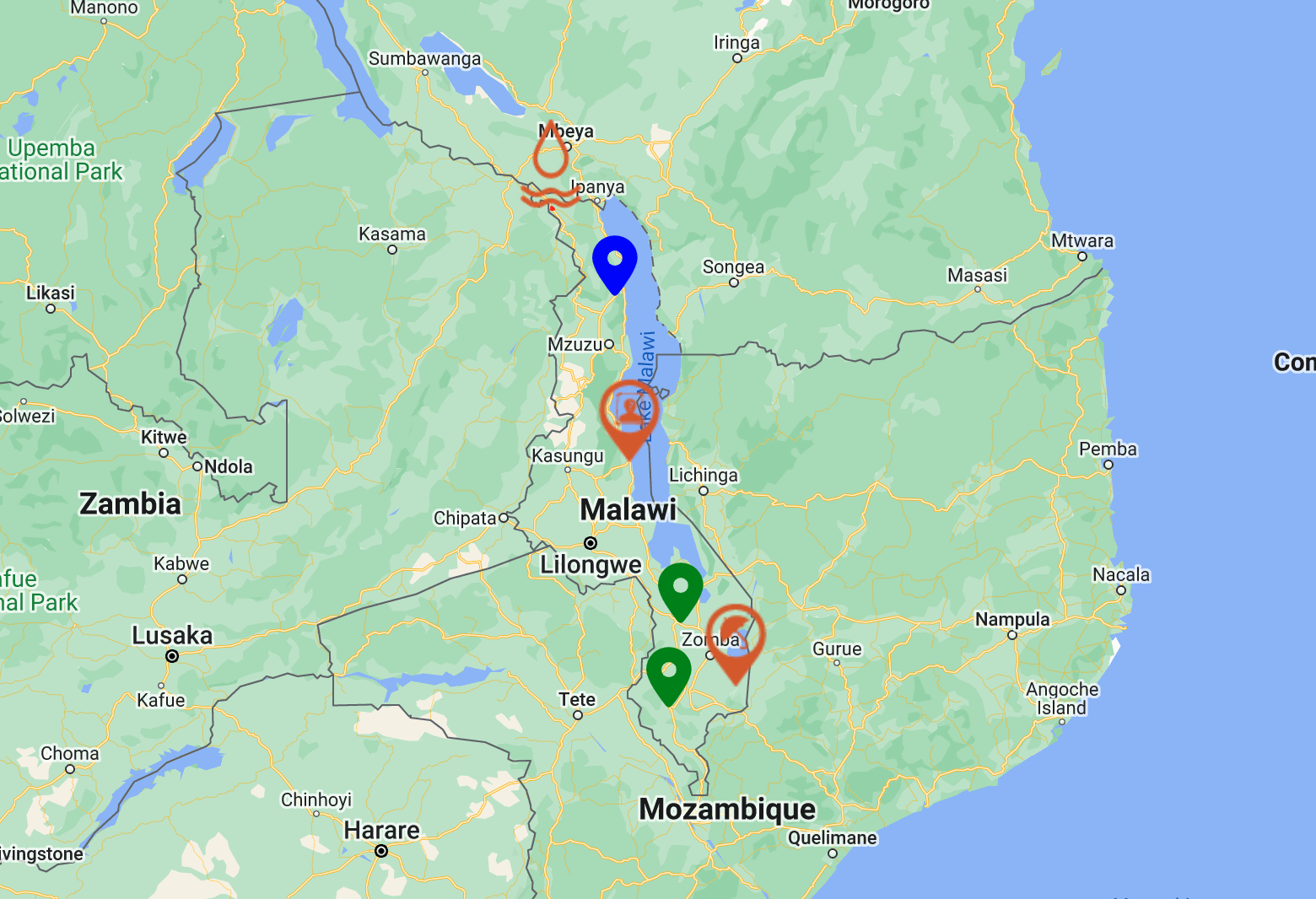
Alert & Incident Map
A configurable GIS canvas authorised teams use to publish location-pinned warnings and incidents — embeddable in any website with a snippet of code.
- Customisable map layers and base maps
- Drop-in widget for any agency website
- Direct posting to social channels
- Open QR access for posters and signage
- GIS-grade accuracy without GIS expertise
Geofence Alerts
Trigger localised alerts the moment someone enters or approaches a defined zone — relevant to where the user actually is, not where they live.
- Draw zones at any scale, from a building to a region
- Proximity-aware delivery to nearby devices
- Live status escalation as situations change
- End-to-end ownership of the alert lifecycle
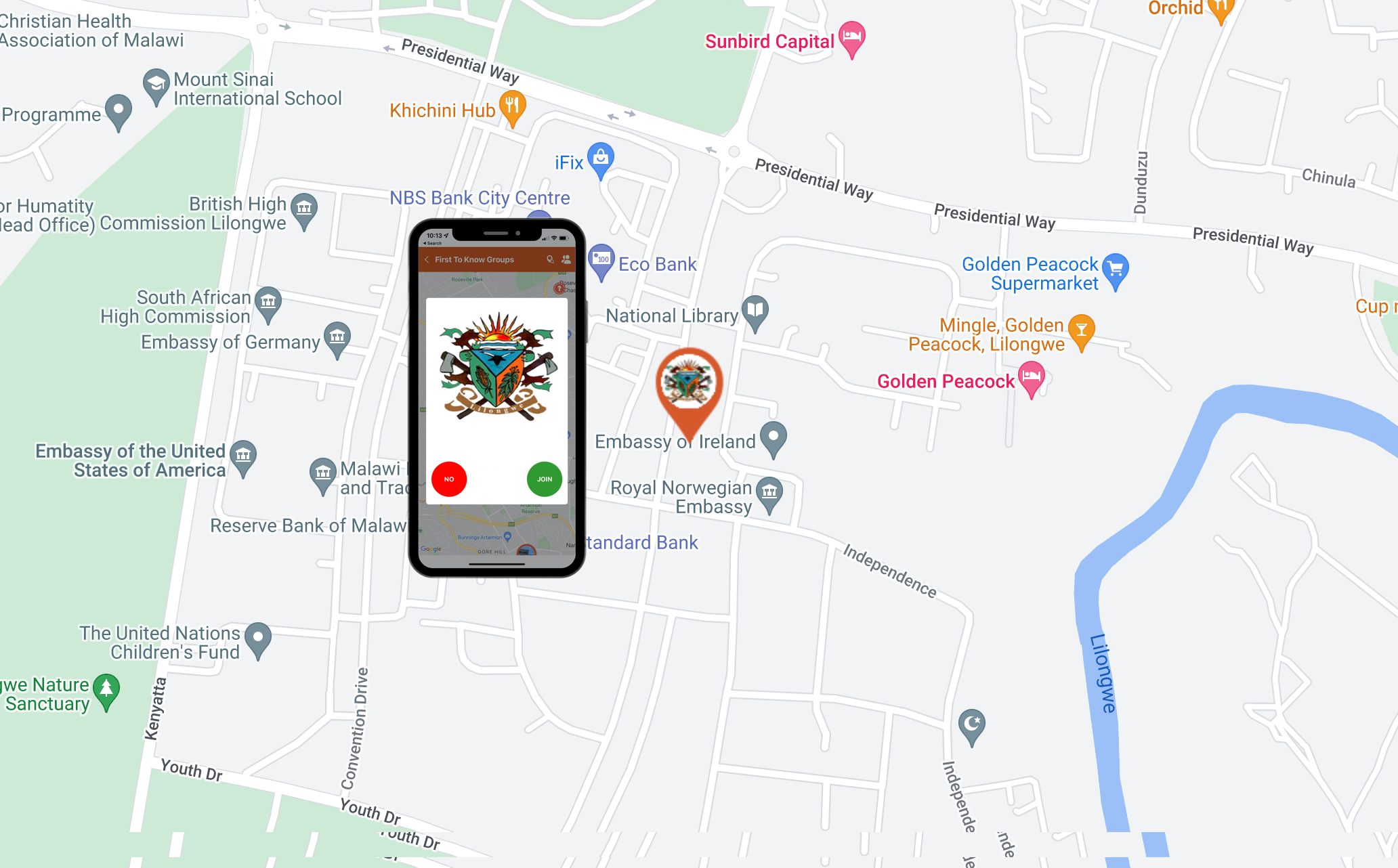
First to Know Groups
Curate trusted notification groups by neighbourhood, school, hospital, place of worship, or workforce — and reach them anonymously, without onboarding.
- Unlimited groups, unlimited alerts
- No app install, no account, no PII
- Anonymous two-way feedback
- Per-group permissions and audit
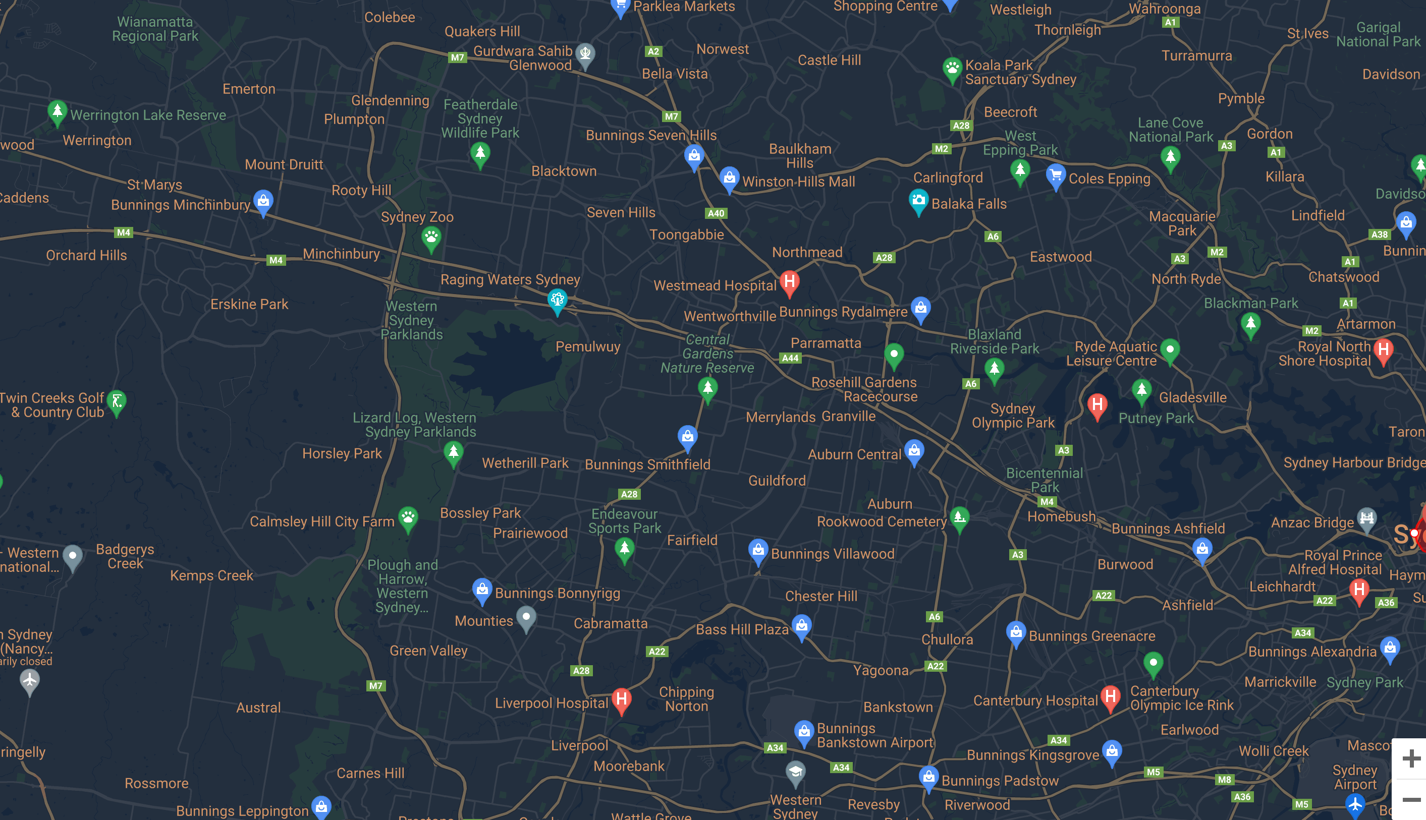
Event Layers
Custom GIS overlays that track an unfolding event — flood lines, road closures, evacuation corridors — updated by your team in real time.
- Build a layer for any incident type
- Edit live as the situation evolves
- Public read access without sign-in
- Trend timelines for after-action review

Geo Surveys
Anonymous, location-tagged polls that turn community input into a heat map of sentiment, need, and emerging issues.
- Anonymous responses with location context
- Map-first results visualisation
- Targeted resource deployment
- Cross-incident comparison and history

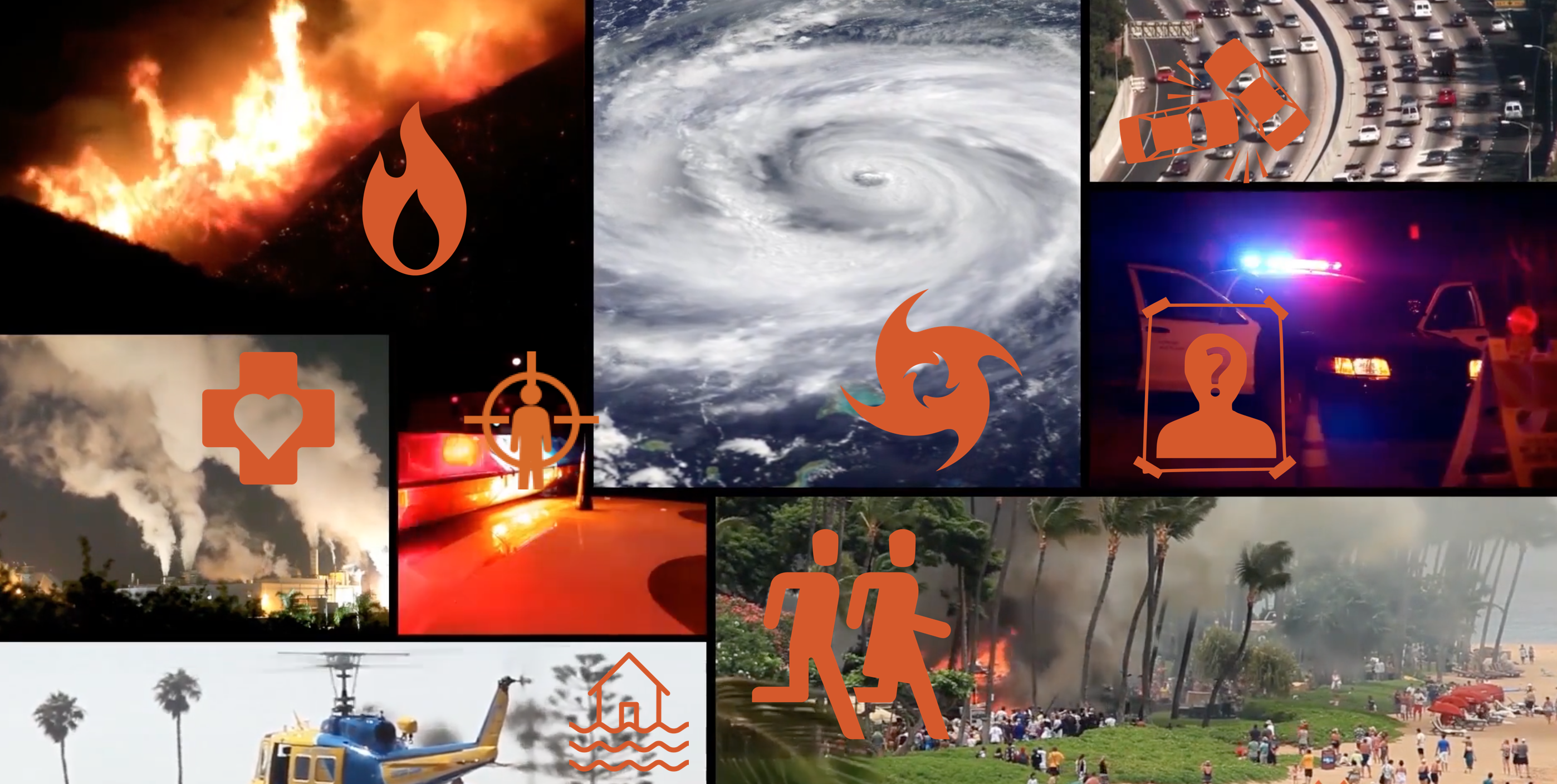
Incidents & Field Reports
Plot incidents the moment they're observed and promote them straight into a public alert when they cross a threshold.
- Pin incidents from the field on web or mobile
- One-tap escalation to public alert
- Earlier community awareness
- Reportable workflow for line staff
Rating & Feedback
Every alert carries a built-in feedback loop. See who reached the message, what they thought, and where the gaps were — without surveys.
- Anonymous ratings on every alert
- Native engagement analytics
- Closed-loop community input
- Continuous improvement signal

30-minute walkthrough